Spectacular waterfalls
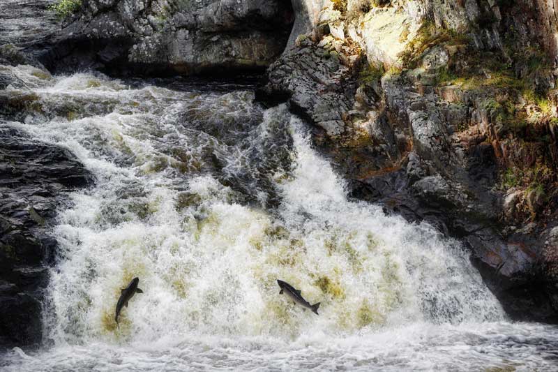
Waterfalls are often seen as symbols of nature’s raw power and beauty. With Atlantic salmon travelling through the Kyle of Sutherland river systems to return to their spawning grounds, watching the salmon leap out of the water to traverse the waterfalls can be awe inspiring.
By Silvia Muras
Two different seasonal views of Achness Falls (Left) © Sarah Horne (Right) © Gordon Hatton (cc-by-sa/2.0)
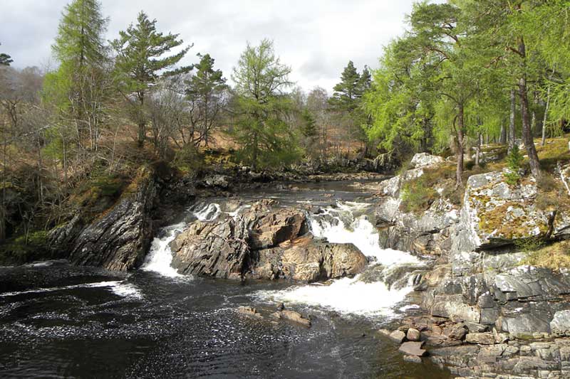
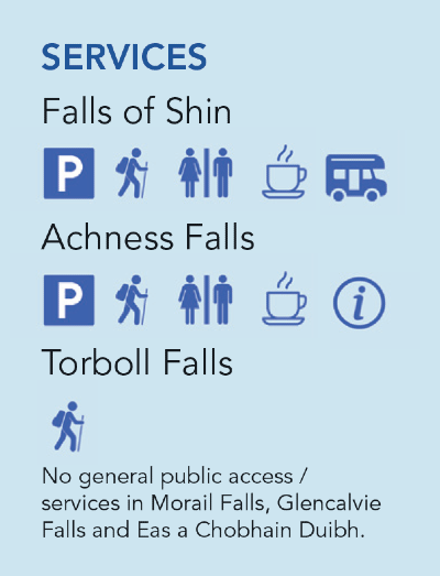
Achness Falls
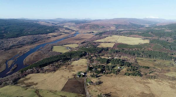
River Cassley
Of easy access from the road less than half a mile north of Achness Hotel. The upper fall has a 20ft (6m) drop. Nearby we find the ruins of a broch, a small church and a cemetery. There is also a steep flight of stone steps to descend near the river. A circular 2.7-mile long hiking trail starts at the Rosehall Forest car part, where we also find a log cabin with information. The name Achness comes from the Gaelic Achadh an Easa and means ‘the field at the waterfall or stream.’
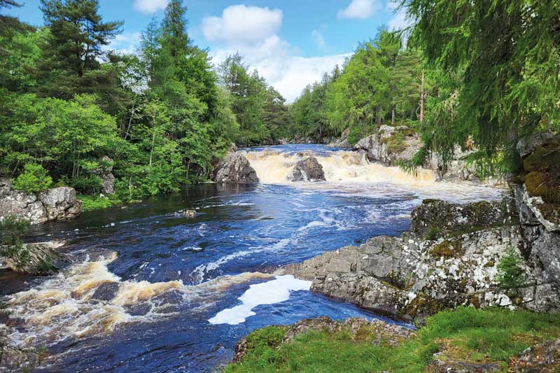
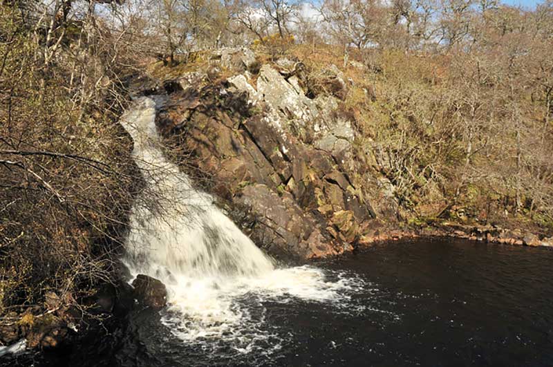
Morail Falls
River Carron
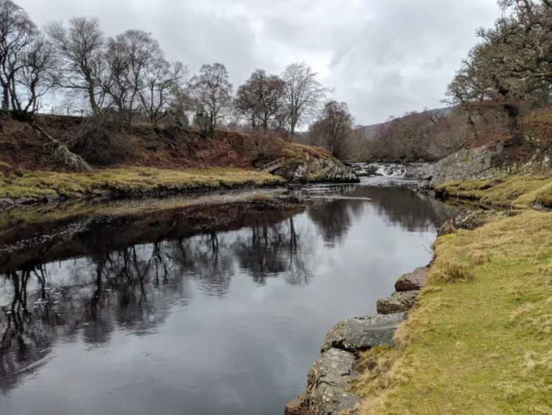
The fishing beats at the famous Morail falls pool on the middle river Carron are shared by Gruinards and Braelangwell. The salmon begin to ascend the waterfalls in mid to late April. There is a core path alongside the lower part of the river Carron up to Gruinards Lodge.
Glencalvie Falls
River Carron
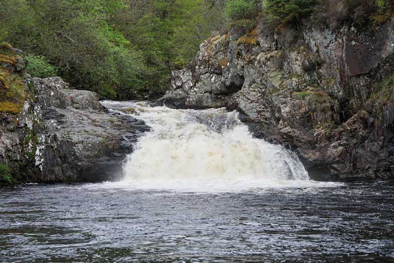
These falls are 20ft high (6m), on the river Carron well into the Glencalvie estate. A prime fishing spot, it is considered one of the most iconic pools in Scotland. The salmon migrate a long way upstream of the falls right up into Gleann Beag. This is the highest altitude area that salmon can get to in the entire Kyle of Sutherland catchment. There is a path to the falls which is signposted from the Amat side.
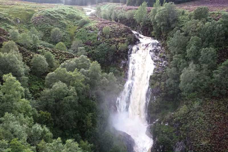
Falls of Shin
River Shin
One of the best known sights in the area, with amenities and boasting a viewing platform accessible to all. Salmon can often be seen attempting to pass up the falls in the summer and early autumn. Malcolm Bangor-Jones recounts that the linn or falls of Shin once was a proper waterfall. Salmon were caught with a net and creel - the creel was long and reached across the stream under the falls - fish attempting the falls would fall back into the creel. In 1833 the falls were blasted in 10 days by a team of 14 men. The job was done so effectively “the celebrated fall has for ever vanished from the creation.” Today the falls have a height of 12 ft (3.7m)
Torboll Falls (Left) © Steven Brown (cc-by-sa/2.0) Salmon ladder (right) © valenta (cc-by-sa/2.0)
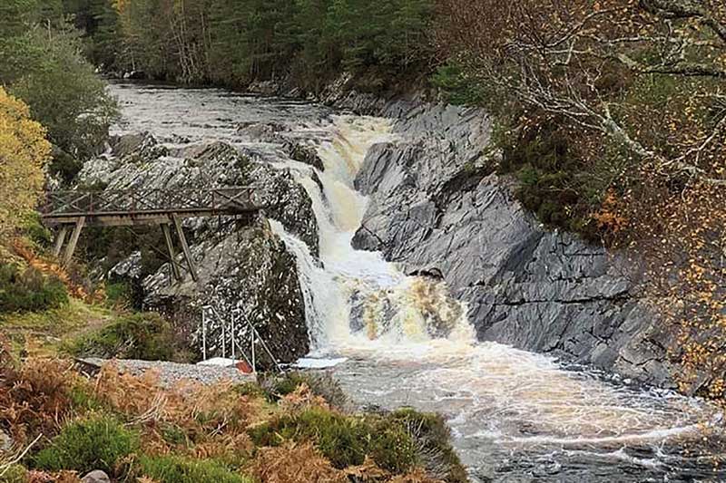
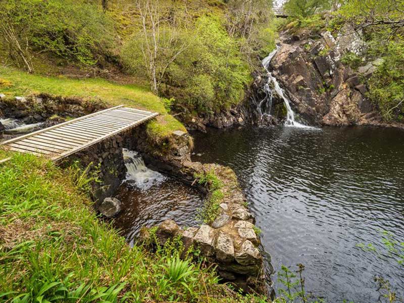
Torboll Falls
Abhainn an t-Sratha Charnaig
This 60 ft (18m) waterfall can be found on the road from Loch Buidhe to The Mound. A 19th century fish ladder is parallel to the waterfall to allow for the migration of fish. It may be viewed from the bottom of the fish ladder or from a bridge that runs over the top of the waterfall.
View from the bottom (left) and aerial view of Eas a Chobhain Duibh. © Gregor Laing
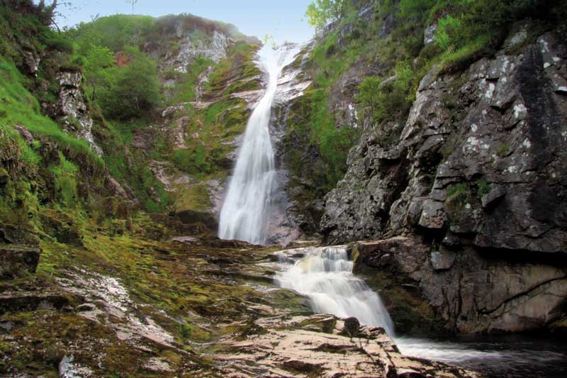
Eas a Chobhain Duibh
Wester Fearn burn
This impressive waterfall, 90 ft (27m) tall is located 1.5 miles up stream the Wester Fearn burn. Not easily accessed by foot, but there is a track by the AA sentry box. The burn was once known as Allt Grugaig, or ‘the surly one’, and described as “formidable in spate”, with the road bridge being swept away during a spate in 1839. The main source of the Wester Fearn burn comes close to, but not from, Lochan Na Charn near the road between Kildermorie and Glencalvie, and drains into the Dornoch Firth about 3 miles east of Ardgay. The unpolluted mountain stream water from this burn has been found to be ideal for fish farming purposes.
When visiting forest and rivers in and around the Kyle of Sutherland please abide by the Scottish Outdoor Access Code:
- Respect the interests of other people;
- Care for the environment (do not disturb wildlife, leave no trace); and
- Take responsibility for your own actions.
To find out more here